
Foster City Neighbors Around One Address
A block lookup should say what each source can show. County GIS reveals parcel shape and APN. The assessment roll can identify an assessed owner for a selected parcel. A subdivision map gives the original lot and block plan. District-election maps show civic geography without voter names. A Historical Society neighborhood map provides community context. HOA and civic contacts are voluntary sources, not a universal public roster.
| Source | What it shows about a block | Access |
|---|---|---|
| County GIS parcel browse | Adjoining polygons, parcel shape, APNs | Free map viewer |
| ACRE assessment roll | Assessed owner, mailing clue, value, exemption fields | Public property records |
| Recorded subdivision map | Original lots, blocks, and tract layout | Free map download or counter copy |
| District-election maps | Civic districts and communities of interest | Public maps, no names |
| Community or HOA contact | Voluntarily published board or contact information | Only when the group chooses to publish it |
An assessed owner is not the same as every person who lives at the parcel. The county voter self-service form is for an individual checking their own registration. The public record can describe a block without exposing a household.
Define a Foster City Neighbor
“Neighbor” can mean a parcel sharing a boundary, a property across a street, a home across a lagoon, or a chosen radius. Foster City geography makes the distinction real. A bridge or walking route can put nearby homes in a different adjacency set, while a condominium address can contain several units on one parcel. State the definition before comparing owners or community information.
County GIS does not provide a verified one-click public buffer export of owners. The documented method is manual: locate the address, zoom until parcel polygons are distinct, select the target, note the APN, and inspect each adjoining polygon. A block lookup is therefore a set of parcel checks, not a button that reveals all nearby people.
For a full named-street chain, the Foster City street directory workflow is the better fit. The neighbor search stays with the immediate block and community layer.
Click Around a Foster City Block
The parcel-by-parcel method begins at one known address. Open the county raster viewer or the county Property Maps service. Search by address or APN, select the result, zoom to its polygon, and click each lot that meets the chosen neighbor definition. Save the APN and map reference for every selected parcel before looking up a related property field.
The San Mateo County GIS viewer is the map source for inspecting the selected parcel and nearby lots.
Address → target polygon → APN → adjoining polygon → assessed owner → recorded map. This process keeps the map relation separate from the person relation.
Property Maps can add assessor and recorded-map links. A recorded map can show the original tract or lot plan even when a modern street label is abbreviated. The assessment roll can add an assessed owner, but it does not list every occupant or household member.
When an address resolves to a master parcel or a multiunit development, confirm the unit and legal description before calling a selected owner a neighbor.
The county parcel layer uses a nine-character APN and a situs-address field. That technical key is useful when a street has similar numbers or a shared development name. The GIS service can support parcel queries and distance work, but the research did not verify a public owner-mailing field or a ready-made neighbor export. Manual review remains the honest method.
Lagoon Geography Changes Foster City Adjacency
Foster City was planned over reclaimed land, and its lagoons and bridges change the feel of a block. Houses that are close by road may not share a parcel boundary. Conversely, a dense multiunit parcel may contain many addresses that look like one map feature. The city’s neighborhoods and named areas supply context that a ZIP code cannot.
The Foster City Historical Society neighborhood map documents the numbered and named neighborhoods used for local context.
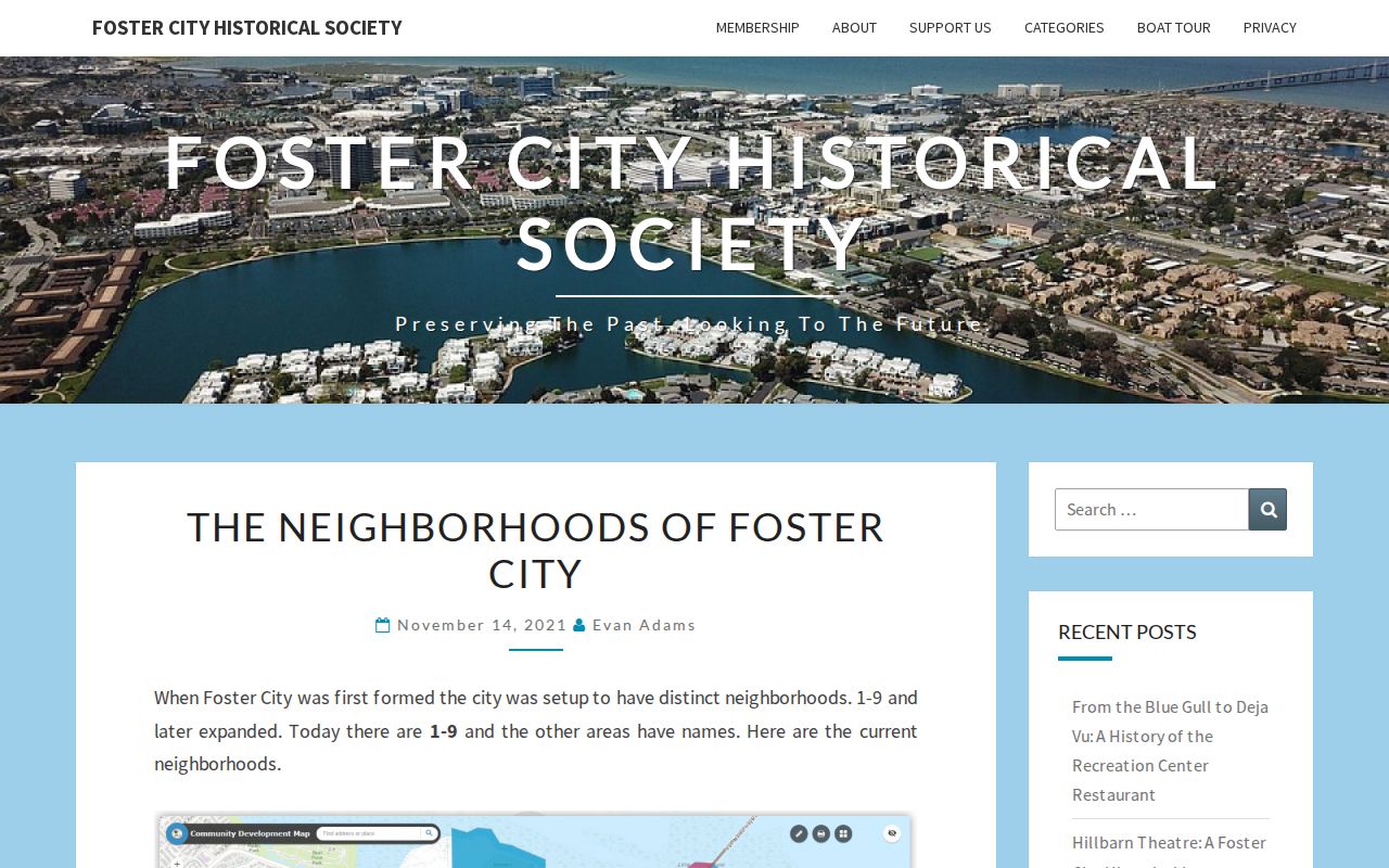
The map can help explain a community label, but it does not publish a comprehensive member list or resident directory.
Write the chosen boundary in plain words, such as “parcels sharing an edge with the target” or “visible parcels on the same frontage.” That small note prevents a neighbor result from changing shape halfway through the search.
Mapping a Foster City Block
Once the boundary is set, walk the map outward and keep each parcel separate. The county self-service voter tool cannot do this job because it asks an individual for a house number, ZIP code, and birth date to check their own registration. It has no public name field.
- Locate the target address in the county GIS viewer and record the target APN.
- Select each adjoining or defined nearby parcel and record its APN and situs.
- Check the assessment source for the assessed owner and label a mailing address exactly as mailing.
- Use a subdivision map or deed index to confirm the parcel identity when a boundary or unit is unclear.
- Use civic or voluntary community sources only for the contact information they deliberately publish.
San Mateo County's voter self-service page shows the private self-check fields that should not be mistaken for block access.
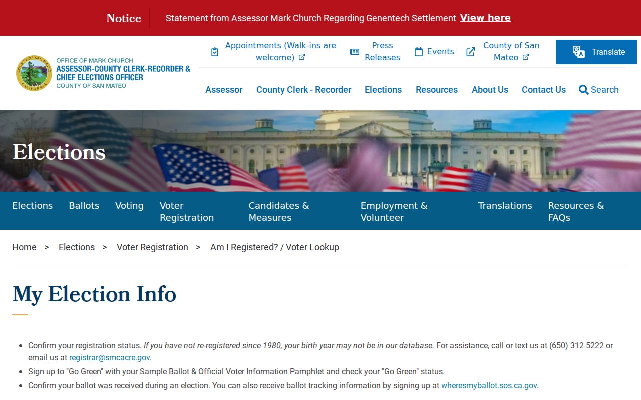
The form confirms a user's own registration status and illustrates why voter names should not be inferred from a public block search.
Record the date of each parcel result. Assessment, permit, and court information is live data and can change after the first map pass.
Foster City Neighborhoods 1-9 and Named Districts
Foster City's original residential geography includes Neighborhoods 1 through 9, plus named areas such as Town Center, Pilgrim-Triton, Vintage Park, Chess, and Lincoln. The official community profile also describes early-1990s boundary changes that produced fourteen areas. District-election maps add a civic layer with neighborhood blocks and communities of interest.
Foster City's district-election page explains the public maps and community-of-interest process.
San Mateo County ACRE Elections supplies the county elections-office context for the public district and voter-file material.
Election geography can show how residents described a community without exposing a resident roster.
San Mateo ACRE Elections is the custodian for voter-file access. The county states that candidates, ballot-measure committees, and eligible election, scholarly, journalistic, political, or governmental requesters may apply. The application, purpose, payment, and current file rules control. A printed voter list is not a casual neighborhood directory.
The 2024 public districting maps can be read beside the Historical Society's neighborhood inventory, but the two sources serve different ends. One shows a civic district or community-of-interest description. The other preserves local names and memory. Neither one tells a searcher which people live in a particular house, and neither should be used to infer membership in a community group.
Foster City Contacts Are Not Resident Rolls
The research did not verify a comprehensive public HOA member directory for Foster City. The districting material recognizes homeowner associations, faith communities, and civic networks as communities of interest, while the Historical Society supplies neighborhood history. These are context and contact paths, not lists of every member or household.
| Foster City Historical Society | Neighborhood maps, oral history, artifacts, and public contact context. Research access should be confirmed. |
|---|---|
| ACRE Elections | Voter-file application and statutory access rules; 650-312-5222 and data@smcacre.gov. |
| District-election maps | Public civic boundaries and communities of interest, without voter names. |
| HOA or civic group | Board or contact details only when the organization chooses to publish them. |
The county voter-file information page explains the application, permitted purposes, and payment path.
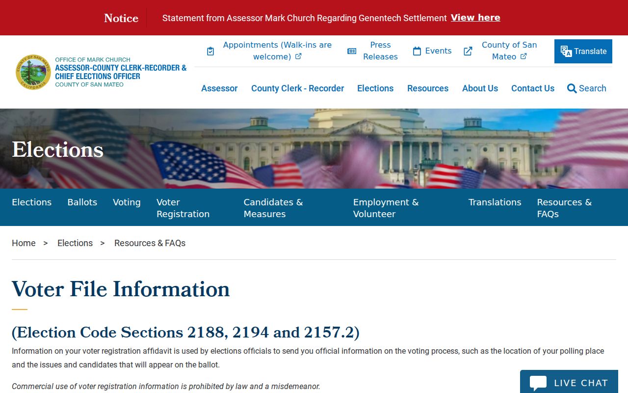
The voter-file route is a regulated request, not an invitation to browse all people around an address.
A community contact can help with a neighborhood question or public meeting. It should not be used to infer private membership or household information.
Foster City's planned form also makes the community layer unusually local. Neighborhood 1 uses famous ship names, Neighborhood 2 birds, Neighborhood 3 fish, Neighborhood 4 boats or boat parts, Neighborhood 5 explorers, Neighborhood 6 admirals, Neighborhood 7 islands, Neighborhood 8 bays, and Neighborhood 9 constellations or stars. These themes help match a historical map or civic notice to a block without exposing a person's private details.
Foster City Neighbor Lookup Limits
Public parcel records do not reveal every household member, unlisted occupant, utility customer, delivery recipient, or protected person. Safe at Home provides a substitute mailing address for qualifying survivors and specified public-facing workers. Voter identifiers and signatures are confidential. DMV information is restricted under the federal Driver's Privacy Protection Act and California law.
California Safe at Home guidance describes address confidentiality and the rule against reverse-engineering a protected location.
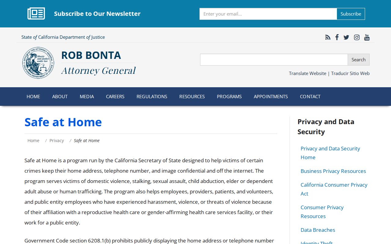
A protected address is a stopping point. It is not a missing map detail to solve through another record.
| Source type | Official strength | Limit |
|---|---|---|
| Parcel and assessment | Maps and assessed ownership | Does not enumerate a household |
| Voter file | Restricted address-linked registration data | Purpose, application, and confidentiality rules |
| Community contact | Voluntary public board or contact detail | No comprehensive member roster verified |
| Compiled neighbor tool | May combine public and licensed clues | Stale, merged, or unverified data |
Use neighbor records for lawful personal research, family history, reconnecting, civic curiosity, and ordinary safety awareness. Do not use them to stalk, harass, threaten, intimidate, or harm another person.
If a parcel result looks wrong, return to the map and confirm the APN, unit, tract, and boundary. If a public contact looks stale, ask the organization to correct its own published information. If a person appears in an official file, use the record office's correction path rather than assembling a wider profile from unrelated sources.
Lawful use. A Foster City neighbor lookup should stop at the source's public field set. Verify with the custodian, honor Safe at Home and sealed-record rules, and never turn a block map into a watch list.