
Finding People Along a Foster City Street
A useful street directory search follows one address through several custodians. Start with the site address, not a guessed resident name. Foster City's county parcel layer can return an APN and map links. The assessment roll can identify an assessed owner and values. The Recorder index can show named parties to deeds or liens. City eTRAKiT can date work at the site. A reverse or telephone directory may add a past subscriber clue.
Keep each step in a note with its source date. Ownership is not the same as occupancy, and a permit contact is not a household member. If the purpose changes from a whole street to one person, use the source-specific checks on a resident lookup rather than treating every nearby name as a match.
- Enter the street address in San Mateo County Property Maps and save the APN, parcel outline, and recorded-map links.
- Compare the situs address with the assessment roll. Label any tax mailing address as mailing, not as a present home.
- Search the assessed owner as a grantee in the county grantor-grantee index. Record the document number, date, grantor, and legal description.
- Search the earlier grantor as a grantee to move backward through title, checking the APN or tract description each time.
- Open the address in eTRAKiT for permit chronology, inspections, and public project contacts, then check a dated directory if historical occupancy matters.
This address to owner to deed to permit path is the core of a Foster City street-by-street search. Each arrow has a different proof level.
Foster City Addresses Become APNs
County Property Maps offers four useful search modes: address, APN, assessor map book and page, and recorded-map volume and page. The address mode returns a parcel, an assessor-map link, and available recorded maps. The APN mode is valuable when the street label is short, shared, or written in more than one way. A recorded map can reveal the tract, lot, block, and neighborhood behind a modern mailing label.
The county parcel-information page routes researchers to free Property Maps, the Treasurer-Tax Collector secured-property search, and parcel tools. The parcel schema also exposes a nine-character APN and a situs-address field. It does not establish a household, and it does not provide a verified owner mailing field for every map query.
County parcel guidance is pictured here because an address search should be anchored before a name search.
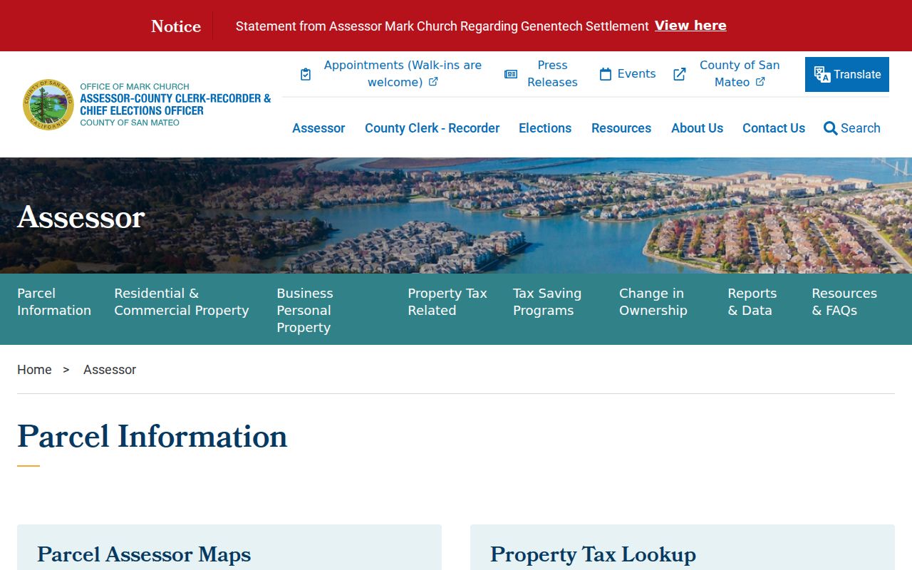
The parcel result gives the stable key needed for the later deed, map, and permit checks.
Note: A street address may map to a master parcel, a condominium unit, or several related records, so confirm the unit and APN before naming an owner.
Lagoon-Shaped Foster City Blocks
A map view matters in Foster City because ordinary walking distance and parcel adjacency are not the same thing. Lagoons, bridges, cul-de-sacs, and multiunit parcels interrupt a simple house-number run. The county GIS viewer lets a searcher select the target polygon, read its APN, and click adjoining parcels one at a time. It does not provide a verified one-click public buffer export of owners.
The county Assessor parcel layer supplies the parcel feature service behind a map inspection of the target lot and nearby parcels.
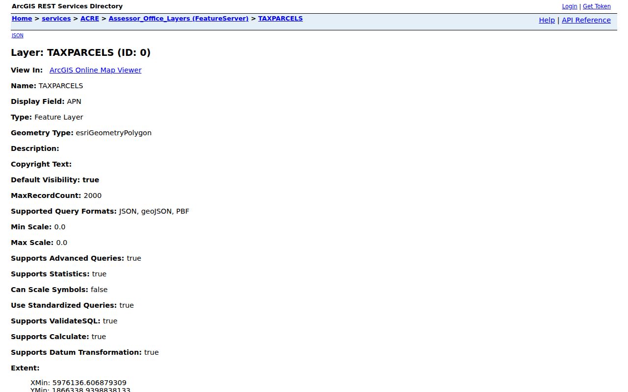
Use the polygon and APN as the bridge between a street label and a county record. A nearby house across water may be close by road but not share a boundary.
A street directory should state what “along the street” means. It can mean every visible parcel fronting the named road, each unit tied to an address, or only the parcels that share a boundary. Choose one definition before comparing names.
Foster City Owner, Situs, and Mailing Clues
The assessment roll supplies an assessed owner, APN or account number, value, and exemption fields. A situs address is the physical parcel. A mailing address is where a tax notice or other correspondence goes. These can differ because of a trust, agent, business, second property, or nonresident owner. A matching mailing address can support an inference, but it never lists every person at the parcel.
| Address record | What it means | Useful check |
|---|---|---|
| Situs | Physical location used by parcel and permit systems | APN and map polygon |
| Mailing | Tax or correspondence destination | Deed, owner role, and date |
| Legal description | Tract, lot, block, or recorded land description | Recorder image and subdivision map |
| Permit site | Address tied to a project or inspection | eTRAKiT chronology and APN |
The assessor map service is the source for the map and parcel layer, while the assessment roll is the source for the assessed-property fields. Do not call a mailing address a current home, and do not turn an exemption field into a list of household members.
Street-Indexed Foster City Records
Address-keyed records cover different parts of the street story. Property Maps shows parcel form and recorded-map links. The assessment roll shows assessed ownership. The deed index shows named parties to a document. eTRAKiT shows work at a site. A voter file may contain an address under a permitted request, while the public self-lookup is only for the individual who is checking their own registration.
| Property Maps | Address or APN search; parcel, map, and recorded-map links. |
|---|---|
| Recorder index | Party name and role, document type, recording date, number, and page count; web images are excluded. |
| eTRAKiT | Search By, Search Operator, Search Value, and Search More Results; result tabs cover site, contacts, fees, inspections, and chronology. |
| Voter status | Self-check fields, not public street browsing. |
The recorder's search is strongest when started with a person and role, while the property and permit systems are strongest when started with an address. That difference is why a by-address search should save the APN before it tries to interpret a name.
Note: A record can be public and still be too narrow to support the claim a searcher wants to make about a whole street.
Foster City Subdivision Maps Behind Streets
Foster City developed neighborhood by neighborhood over reclaimed land. Tract and subdivision maps carry the shape of that build-out, and a legal description can remain stable when a street label or postal convention changes. The city's Maps and Data hub links parcels, zoning, active permits, development, and HOA context. County ACRE remains the custodian for assessor and recorded-map details.
Foster City's Maps and Data hub provides the local map context for streets and parcels.
San Mateo County's property and recorded-map search supplies the legal map layer behind the city map.
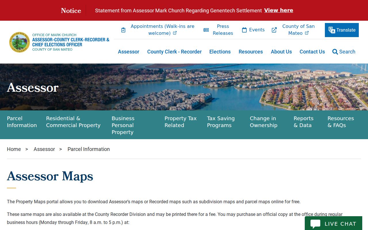
The county map is the place to save a tract or recorded-map reference before following an older address.
Foster City's Maps and Data page adds the municipal map context for neighborhood and street layers.
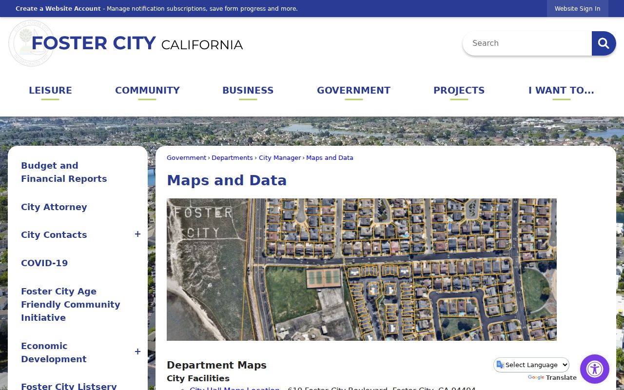
Map context helps explain why a street search can cross neighborhood numbers, tract names, and multiunit layouts without representing a renumbering event.
The city's original neighborhoods use themed street names: ships, birds, fish, boats, explorers, admirals, islands, bays, and constellations or stars. Town Center, Pilgrim-Triton, Vintage Park, Chess, and Lincoln do not follow one of those nine themes. Those names can be useful search terms when an older map or directory uses a neighborhood heading.
Foster City Deeds by Grantor and Grantee
The county grantor-grantee index is a person-and-document trail, not an address directory. Search the current assessed owner as grantee to find an acquisition. Then take the grantor from that deed and search the earlier period. Keep the document number, recording date, grantor, grantee, and legal description together. Repeat until the index or the available terminal record ends.
ACRE's recorded-document search page says public terminals are available and that web images are excluded for privacy. A copy can be ordered through the county's recorded-document request route, or the document can be viewed at a public terminal. An index hit should be checked against the image before it is used in a house-history claim.
Regular recorded copies are listed at $5 for the first page and $1 for each added page, with $5 for certification. Mail requests include the party names, document type, recording date or number, payment, and a self-addressed stamped envelope. Fees and instructions can change. Use the current county page at the time of the request.
Searching by person works better than guessing a street key because the public material does not document an address field for the deed index. The APN and legal description keep the chain tied to the right parcel.
Foster City Permit Dates by Address
eTRAKiT adds the city construction record to a street directory search. Its public form includes Search By, Search Operator, Search Value, and a control to show more results. Address and permit or project number searches are documented, with company or license number choices in related modules. Public users can inspect result tabs without an account; applying and paying requires an account.
The Foster City eTRAKiT search supplies the live address-and-permit entry point.
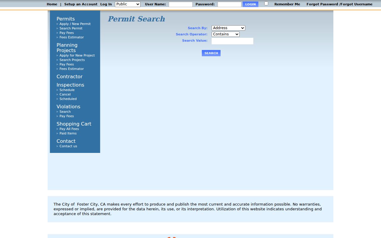
A permit result can add type, description, status, dates, APN, subdivision, tract, block, lot, neighborhood, contacts, inspections, conditions, and chronology to the parcel trail.
The city says original plans may be incomplete for houses built before 1972. The county gave the city microfilm permit applications at incorporation, but only limited site plans, and the county no longer maintains Foster City plans. A missing plan is a documented limit, not evidence that no work occurred.
Reverse Directories for Foster City Occupants
A telephone or reverse directory can add an occupant clue that the tax roll does not. The 1976 San Mateo telephone volume inspected by researchers shows a subscriber name, street number and name, “Foster Cty,” and a seven-digit telephone number. It does not show every household member, owner or occupant status, or an unlisted subscriber. Use the date printed in the volume as the time of the canvass or publication, not as proof of continuous residence.
The San Mateo Public Library California Collection lists city directories from the 1900s to the present, maps, newspaper microfilm, and clipping files. Exact local reverse-directory runs require a catalog or reference-desk check. The regional collection is especially important because modern Foster City did not exist as a city heading before its development era.
The Foster City city directory collections page follows the historical shelf, telephone books, census gap, and library access in more detail. A street directory search should borrow only the dated address clue and then return to the parcel, deed, or permit record for confirmation.
Older directory wording may use San Mateo, Brewer Island, a neighborhood number, or a postal abbreviation. Search those variants before deciding an address is absent.
Limits of a Foster City Street Directory
A Foster City street directory cannot show every person at a street address. The assessment roll is not an occupant list. A deed chain shows title parties. A permit contact belongs to a project. Voter information is restricted by California law, and the public self-check cannot browse a block. DMV and utility-customer records are not public directory substitutes. Protected participants in Safe at Home must not be reverse-engineered from other clues.
- Parcel
- A mapped land unit tied to an APN and legal description.
- Situs address
- The physical location used by a parcel or permit system.
- Plat or tract map
- A recorded map showing the legal layout of lots, blocks, or subdivisions.
- Criss-cross directory
- An address-ordered directory that can connect a place to a dated name when a run exists.
Lawful use. Address records are for personal, lawful research, family history, and ordinary civic or safety questions. Do not use a street directory to stalk, harass, threaten, or intimidate anyone.
For the whole named street, define the parcel set and save the source date. For one person, compare at least two independent facts such as APN, middle initial, date, court role, or business number. A careful by-address result is narrow by design.