
Foster City ZIP Codes and Coverage
Research located one normal ZIP code for Foster City street delivery. ZIP 94404 serves the city's neighborhoods through the Foster City Post Office. No authoritative source in the research established a second normal street-delivery ZIP, a unique institutional ZIP, a split, or a realignment. That makes the first row of the ZIP code directory simple, but the notes around the row matter.
| ZIP code | Areas covered | Post office | Notes |
|---|---|---|---|
| 94404 | Foster City neighborhoods, including Neighborhoods 1-9 and named areas | Foster City Post Office, 750 Alma Lane Suite 100 | Only normal Foster City street-delivery ZIP identified |
The Foster City Post Office listing supplies the postal location, ZIP, phone 650-358-8490, and published retail hours of Monday through Friday 8:30 to 5 and Saturday 9 to 2. Confirm current hours and services before a visit.
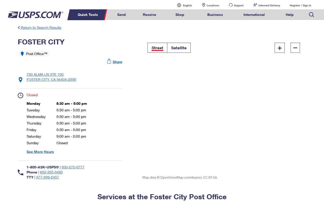
The post office is a delivery and mailing source. It does not turn the ZIP code into a resident directory.
The listing also identifies services such as a self-service kiosk, Label Broker, and PO Box Online. Those are postal service choices, not public record channels. A ZIP code directory should send a record request to ACRE or Foster City when the question concerns a parcel or municipal file.
Foster City Has No Verified ZIP Split
The research found no official Foster City ZIP split or realignment history, and no verified PO-box-only or unique ZIP serving a single institution. That absence should stay visible. Do not fill a ZIP code directory with guessed population counts, registration totals, or boundary claims. If a postal source changes, date the observation and check the current USPS tool.
Foster City was built as a planned community on reclaimed Brewer Island land. The city has about 2,600 acres, nine original residential neighborhoods, and later named areas. A neighborhood or tract map can explain a street's civic context better than a ZIP code alone.
The official Foster City Community Profile supplies the local neighborhood and land-use context.
The profile supports neighborhood geography, not a ZIP-wide list of residents or owners.
Foster City ZIP and City Limits
A ZIP code is a postal delivery area. Foster City's municipal line is a government boundary. A county assessor parcel has its own situs, APN, tract, and map record. A permit belongs to the city when the site is within city jurisdiction. Those three systems can point to the same street and still answer different questions.
The research did not prove that 94404 extends beyond Foster City's city limit, nor did it prove a mismatch in the other direction. The safe rule is to check a parcel or official city-limit map before choosing the City Clerk, ACRE, elections, police, or another custodian. Do not select an office from a postal label alone.
- ZIP code
- A USPS delivery area used to sort and route mail.
- ZIP+4
- A ZIP code plus four added digits for a more precise delivery segment.
- PO-box ZIP
- A postal ZIP used for boxes rather than normal street delivery; no Foster City example was verified.
- Unique ZIP
- A ZIP assigned to one organization or institution; no Foster City example was located.
- Carrier route
- A postal delivery route within a ZIP, not a public list of households.
Verify a Foster City Address with USPS
USPS Address and ZIP Lookup is a delivery check. In its address mode, enter a street address, city, and state. In a ZIP mode, use the fields the live form requests. The return can standardize the delivery address and ZIP, but it cannot identify a person, owner, household, or municipal custodian.
| Street address | Text value for the delivery location in address mode. |
|---|---|
| City and state | Locality fields used to verify the delivery label. |
| ZIP code | Five-digit postal value in a ZIP lookup mode. |
| Result | Standardized address and ZIP information, not resident identity. |
The USPS ZIP lookup is the source for a current delivery-label check.
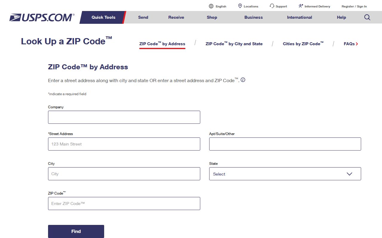
Use the standardized output to reduce spelling errors, then return to the parcel map for the government record question.
Note: Postal validation can confirm that an address is deliverable without confirming that the address lies inside the city line or belongs to a named person.
Find Foster City Records Within One ZIP
A ZIP code can narrow a research set, but the official portals reviewed do not document a verified ZIP-wide owner export. The county tools key on address, APN, parcel map, or recorded-map references. Foster City's eTRAKiT search is documented for address or permit and project number, while its sample result displays city, state, and ZIP. Do not promise a ZIP filter that the custodian has not published.
- Verify the delivery label with USPS and save the returned ZIP and address wording.
- Check the city-limit or parcel map so the ZIP does not choose the wrong government office.
- Use the county Property Maps address search to capture the APN and parcel outline for each street-level record.
- For a permitted file, search eTRAKiT by address or permit number and read the site, APN, chronology, and contact tabs.
- When a name or one person becomes the goal, switch from postal geography to the source-specific record rule.
Once a ZIP narrows the street set, the Foster City street directory workflow takes over with parcel and deed records. The ZIP code is a first filter, not the final evidence.
San Mateo County GIS information describes the county parcel-information layer used to connect address, assessment, and map records.
GIS makes the parcel boundary visible, which is more useful for custody than a ZIP-only guess.
Neighborhoods Inside 94404
94404 is associated with Foster City's original Neighborhoods 1 through 9 and named areas such as Town Center, Pilgrim-Triton, Vintage Park, Chess, and Lincoln. The neighborhood numbers have street-name themes: ships, birds, fish, boats or boat parts, explorers, admirals, islands, bays, and constellations or stars. Those terms can sort a local search when a city source or historical document uses a neighborhood name.
Official districting material adds civic geography. Foster City's district-election page includes maps submitted in 2024, community-of-interest criteria, and the adopted district map. These maps show civic boundaries and neighborhood descriptions. They do not show voter names, households, or a ZIP-wide owner list.
Foster City district-election maps provide the public civic geography behind the neighborhood layer.
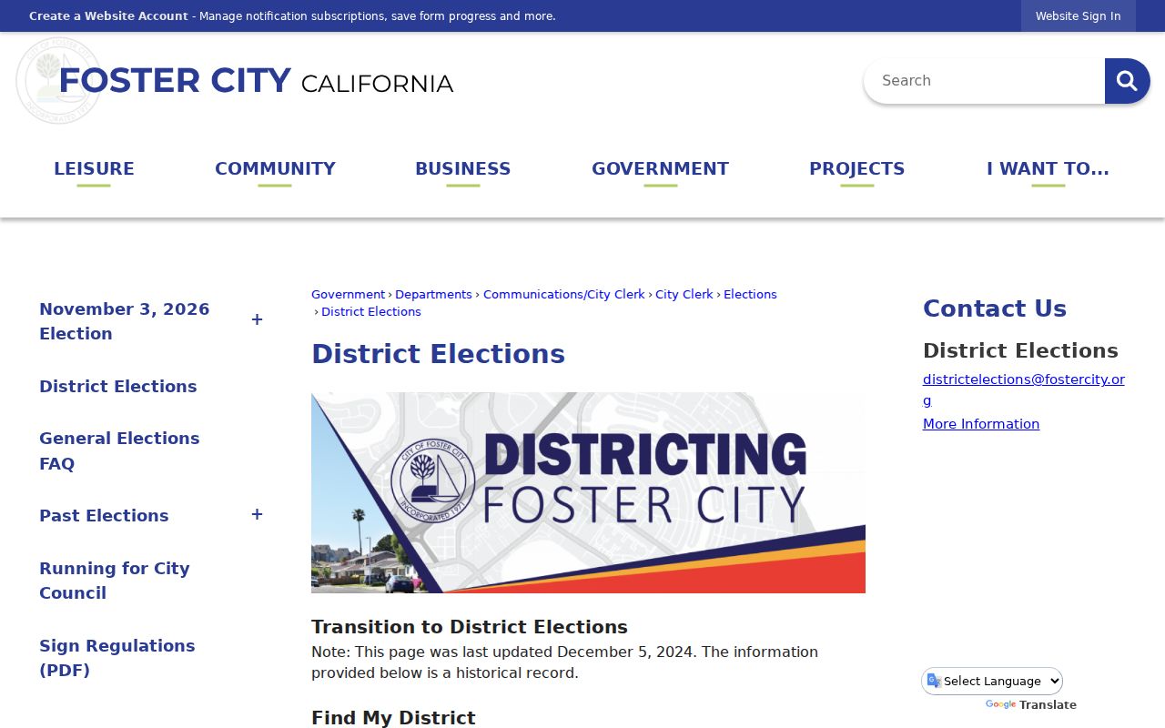
Use the district map for civic context, then return to the parcel, city, or county record for a person-specific question.
Foster City Has No ZIP-Wide Owner Export
A directory reader may expect a ZIP code search to return every owner or resident. The research does not support that expectation for Foster City. The assessor portal identifies assessed owners and property fields, but the official sources did not verify an unrestricted owner-name search or a ZIP-wide export. The voter self-lookup does not browse names. A voter-file product requires a statutory purpose, application, payment, and requester details.
County voter-file information lists a $125 voter-information file and a printed list charge of $0.50 per 1,000 voters, but current eligibility and form rules control. A ZIP value in a record can support sorting or verification, not a claim that every person in 94404 appears in one public roll.
Commercial compiled products can mix old or mismatched data. The correction path for an official record is the custodian. The correction path for a compilation is its publisher. Neither path turns a ZIP code into proof of present residence.
Annual assessment summaries add scale and fiscal context to the county roll, with labeled secured, unsecured, and combined summaries reaching back at least to fiscal year 2013-14 in the published material. Those summaries are not a list of Foster City owners. They show why a ZIP code directory should use the parcel or account record for a specific address rather than infer a person from a countywide total.
The same caution applies to permits. A sample eTRAKiT result displays city, state, and ZIP as site fields, yet the documented search remains address or permit and project number. A ZIP shown in a result is evidence about the project record's address fields, not evidence that the portal can return every project or person in the ZIP.
Mailing ZIP Is Not Foster City Residence
A mailing ZIP can belong to a tax notice, a business, a PO box, or a correspondence address. A property mailing address can differ from the physical situs. A business address can belong to an agent or an organization. A permit result can display a ZIP because it describes the project site. These are useful clues only when the field label and source purpose stay visible.
For a current property question, pair the ZIP with the APN, map polygon, assessment record, and deed. For a municipal question, check the official city-limit or permit source. For a person question, compare the dated record with another independent fact. For family history, use a directory, obituary, probate, or newspaper as a dated clue and then corroborate it.
The postal label also has a practical use. It can catch a misspelled street, distinguish a delivery address from a mailing destination, and help a clerk locate the right form. It cannot replace the county map, a city permit check, or the state rule for a protected record.
Postal boundary caution. 94404 is the only normal Foster City street-delivery ZIP identified in the research, but postal labeling should never replace the parcel or city-limit map when selecting a custodian.
A sound ZIP code directory ends with the right next source. Postal geography narrows the field. It does not answer who lives at an address.