
Foster City Sources for Previous Residents
A house-history search needs an era map before it needs a name. Foster City was developed from the 1960s, incorporated in 1971, and built neighborhood by neighborhood over reclaimed Brewer Island land. The most useful source changes as the address moves from development records to present county files. Some online coverage dates remain unstated, so the table preserves the gap rather than inventing a start year.
| Source | Years it covers | Where held | What it shows |
|---|---|---|---|
| Foster City development history | 1958 to present | City history, profile, council records | Land, reclamation, incorporation, neighborhood context |
| Grantor-grantee index | Online start not stated; earlier terminal or book access | San Mateo ACRE Recorder | Legal ownership parties and recorded documents |
| Subdivision and recorded maps | Development era to present | ACRE Property Maps and GIS | Tracts, lots, blocks, and street layout |
| eTRAKiT permits | Start not stated; sample records include 2020s | Foster City permit portal | Work, dates, inspections, contacts, and APN |
| Telephone and city directories | 1973 and 1976 regional books; exact local runs need confirmation | Library, LOC, State Library | Dated subscribers, addresses, and historical clues |
| Federal census | Public through 1950 | NARA and library databases | Predecessor geography, not modern Foster City households |
The table separates the legal trail from the household trail. A deed can establish a transfer. A directory can show a subscriber at a publication date. A permit can date physical change. None alone proves that every person at the address lived there continuously.
Begin with Today's Foster City APN
Use the county Property Maps address search to capture the APN, parcel outline, assessor map, and available recorded maps. Check the unit number when the property is a condominium or a multiunit parcel. Keep the situs address separate from a tax mailing address. The situs identifies the physical lot; the mailing address identifies where correspondence goes.
San Mateo County Property Maps is the first map and parcel stop for a previous-residents search.
RecorderWorks is the county's related document-index route for the recorded-party trail.
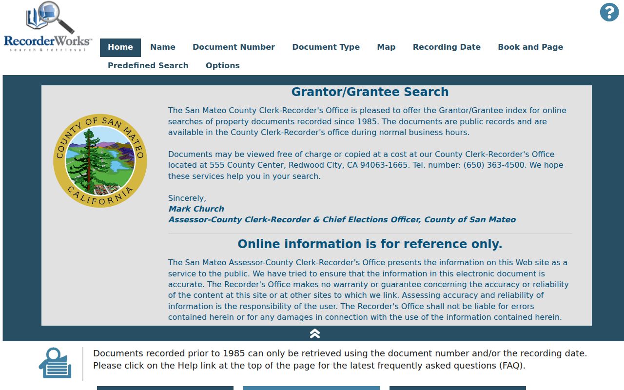
The county index and map systems work together: map the parcel first, then look for named parties tied to the same legal description.
Foster City's neighborhoods were created by tracts and subdivision maps. A street name may be less stable than the APN, tract, lot, or map volume and page. Those identifiers also help when a former address uses San Mateo or Brewer Island rather than the modern city name.
Walk Back Through San Mateo Deeds
The backward method uses the current owner as a doorway. Search that owner as grantee in the county grantor-grantee index. Record the acquisition document, recording date, grantor, grantee, document number, and legal description. Then search the grantor as grantee in an earlier period. Repeat while comparing the APN or legal description at every step.
- Save the parcel, APN, tract, lot, and map references from Property Maps.
- Search the assessed owner as grantee and identify the acquisition deed or related transfer.
- Copy the grantor and search that name as an earlier grantee.
- Check document type, date, number, and legal description before accepting the link.
- When the web index stops, use an ACRE public terminal or order a copy with the known index details.
- Add a dated directory, permit, obituary, or probate source only after the title chain is tied to the right parcel.
The ACRE grantor-grantee index page explains the public index and terminal route.
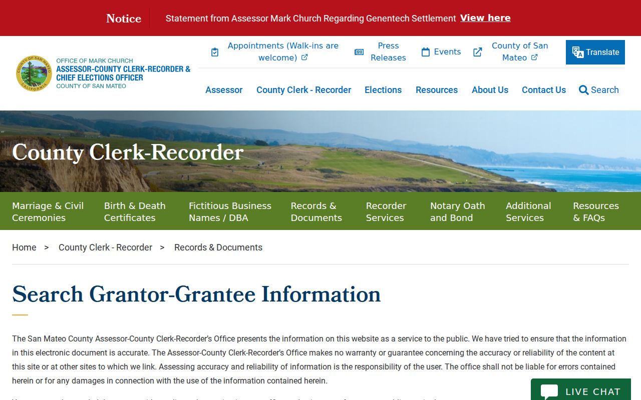
The image is a pointer to the legal chain. The underlying deed image or certified copy is the source to read when a conclusion matters.
- Grantor
- The party transferring an interest in the recorded document.
- Grantee
- The party receiving an interest in the recorded document.
- Chain of title
- The linked sequence of recorded transfers for a parcel.
- Legal description
- The recorded tract, lot, block, or other land description used to identify the property.
Order the Missing Foster City Deed Image
The county's web deed index excludes images for privacy. A searcher can use a free index, then view a document at a public Recorder terminal or order a copy through ACRE. The mailed request supplies party names, document type, recording date, recording number, payment, and a self-addressed stamped envelope. The county does not need a broad request when the chain has already supplied the document number.
ACRE's recorded-document copy instructions describe the mail route.
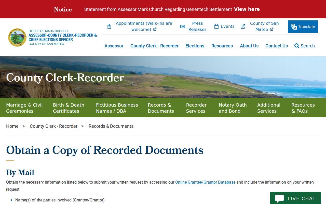
A copy request turns the index pointer into a document that can be read for its legal description, parties, and recorded terms.
Current published copy fees list $5 for the first page of each regular recorded document, $1 for each additional page, and $5 more for certification. A conformed copy is listed at $10 when the requester supplies the duplicate. Other recording and research charges are separate. Confirm the current page and payment rule before mailing.
The county copy-fee page is the source for the published charge schedule.
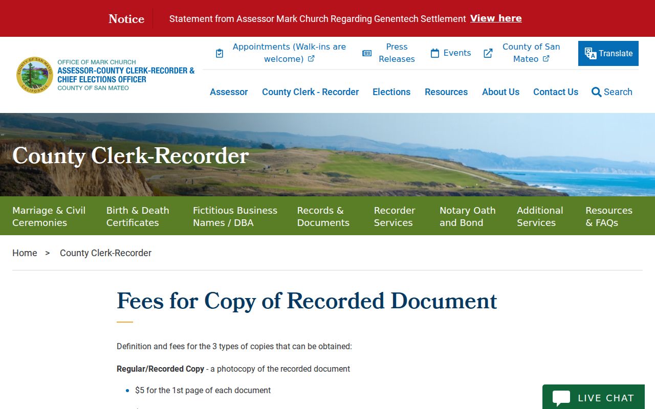
Fees pay for a copy or certification; they do not convert an index into proof of occupancy.
Note: Save the order date and the document number because a live index or fee page can change after the house-history search begins.
Date Foster City Changes with Permits
eTRAKiT supplies a second dated trail. Search by address or permit or project number, then read Permit Info, Site Info, Contacts, Fees, Inspections, Chronology, Conditions, and Reviews. A sample residential result for 601 Teal Street A, BLDG2022-0630, shows the site address, APN, subdivision, tract, block, lot, neighborhood, lot size, dates, status, contacts, inspections, and related permits.
The sample Foster City permit record shows how a dated project can add physical context to a former-resident search.
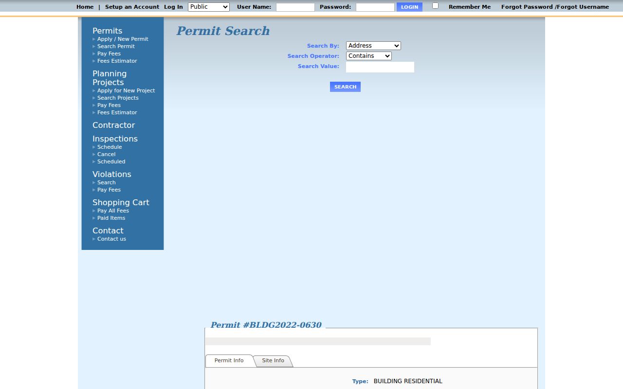
A permit can mark a remodel, inspection, or construction phase. Its named contact is a project role, not proof that the person lived at the address.
For houses built before 1972, Foster City says original plans may be missing. At incorporation the county supplied microfilm permit applications and limited site plans, and the county no longer maintains the city's plans. The city lists a microfiche reproduction charge of $4 for the first page and $0.19 for each added page. Ask the Building Division or City Clerk about the current route.
Cross-Reference Past Occupants at the Library
The household layer comes from dated directories, newspapers, obituaries, yearbooks, and family-history sources. San Mateo Public Library's California Collection lists city directories from the 1900s to the present, newspaper microfilm, maps, Sanborn maps, and clipping files from the 1940s to the 1960s. San Mateo County Libraries lists HeritageHub, HeritageQuest, and in-building Ancestry Library Edition access.
The inspected 1976 Library of Congress telephone book shows a subscriber name, street number and street, the locality abbreviation “Foster Cty,” and a seven-digit telephone number. It does not show every household member, owner or occupant status, or an unlisted subscriber. Exact Polk and reverse-directory runs for Foster City require a catalog or reference-desk confirmation.
The Foster City city directory collections page describes the library, telephone-book, census, and Historical Society sources. Use one volume to find a dated address clue, then compare it with the APN and deed dates rather than treating it as continuous proof.
Obituaries and probate can close a household trail by naming kin, an executor, or a former address. A family-history source is strongest when the name, date, relationship, and place agree with another record.
Why Census and Sanborn Predate Foster City
The newest public federal census schedule is 1950 under the 72-year release rule. Foster City's first residents arrived in 1964, so the 1950 census cannot list modern city households. It can still place a predecessor family or nearby San Mateo geography before development. Move from that earlier context to telephone books, deeds, permits, newspapers, and local oral history.
No Foster City-specific Sanborn sheet run was located. The Library of Congress collection is useful for a broader map question, but subdivision and engineering maps are more productive for a planned community built after the typical Sanborn era. A negative source result is part of the house history.
The Library of Congress Sanborn collection provides the national map context.
Foster City's real continuity quirk is the jurisdiction and name change from Brewer Island or county geography to a sequence of tracts and neighborhoods. That is why a search by modern street name may fail even when the land record exists.
Foster City Past Households in Probate
Close a previous-residents search with several dated clues rather than one dramatic result. A directory subscriber can establish a name and address at publication time. A permit can establish work at the parcel. A deed can establish a transfer. An obituary or probate filing can connect a former occupant to relatives, an executor, or an heir. The records answer different questions, so write the conclusion in the same narrow terms.
The development story adds useful search keys. Builders named in the cultural-resources material include Eichler Homes, Duc & Elliott, and Kay Homes. Neighborhood numbers and tract identifiers can locate early residents when the city heading is absent. The Historical Society can add photographs, oral history, and artifacts from the living-memory era.
For the earliest modern trail, pair the 1958 option, 1961 construction, 1963 first homes, 1964 first residents, and 1971 incorporation dates with a tract or permit record. That sequence tells you whether a name belongs to land history, a builder phase, or an occupied household.
Use the Foster City street directory for the current parcel and address chain, then compare the older household clue with the legal description. Stop when a source is restricted or the evidence no longer matches.
House-history limit. Previous residents are a dated research conclusion, not a license to identify every person who may once have occupied a property. Use records for lawful personal and family-history purposes, and respect protected information.
That approach keeps a past-residents search useful without turning an ownership record, a phone listing, or a family notice into a complete household roster.